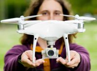
Aerial Inspection and Mapping
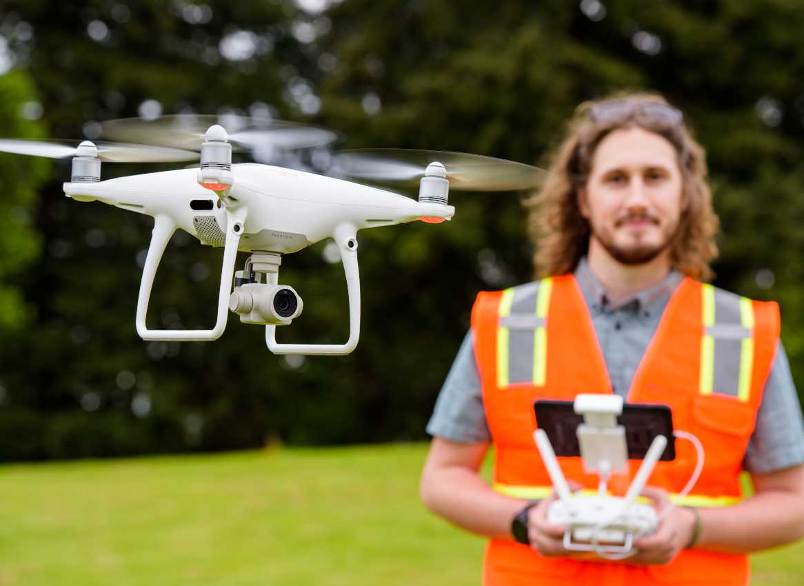
Our Federal Aviation Administration-licensed pilots capture high-resolution aerial imagery, which we use to monitor environmental construction activities and streambed restoration work. By incorporating a drone into data collection, we are able to collect valuable information while significantly reducing field time and eliminating the need to return to a site to fill in data gaps.
Contact Information
Get In Touch
Contact Us
Get In Touch


This website requires cookies to provide all of its features. For more information on what data is contained in the cookies, please see our Privacy Policy page. By continuing to use this website, you agree to our Privacy Policy.